
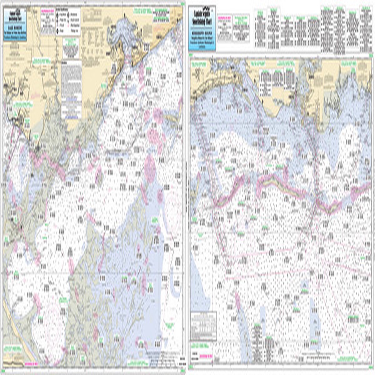
Overview Reviews Similar Products –> Product Description Captain Segull Chart – A nearshore chart 20 to 30 mile off the shore. Side A: Dauphin Island to Cat Island. Side B: Cat Island to Point Aux Herbes- detail of Lake Borgne. All charts include wrecks- reefs- shoals- fishing areas- amenities and restrictions. Nearshore 20 – 30 miles off. Chart is 19 x 26 inches double sided and laminated Mississippi, Louisiana, and Alabama coastline Side A: Dauphin Island to Cat Island. Side B: Cat Island to Point Aux Herbes, detail of Lake Borgne. All charts include wrecks, reefs, shoals, rigs, fishing areas, amenities and restrictions. Please refer to our nearshore, offshore and small boat/kayak charts in this area. Product Videos Custom Field Product Reviews Write a Review Write a Review Captain Seagull Captain Segull Chart – Nearshore Mississippi Sound Rating * Select Rating 1 star (worst) 2 stars 3 stars (average) 4 stars 5 stars (best) Name Email * Review Subject * Comments *
Only logged in customers who have purchased this product may leave a review.


