
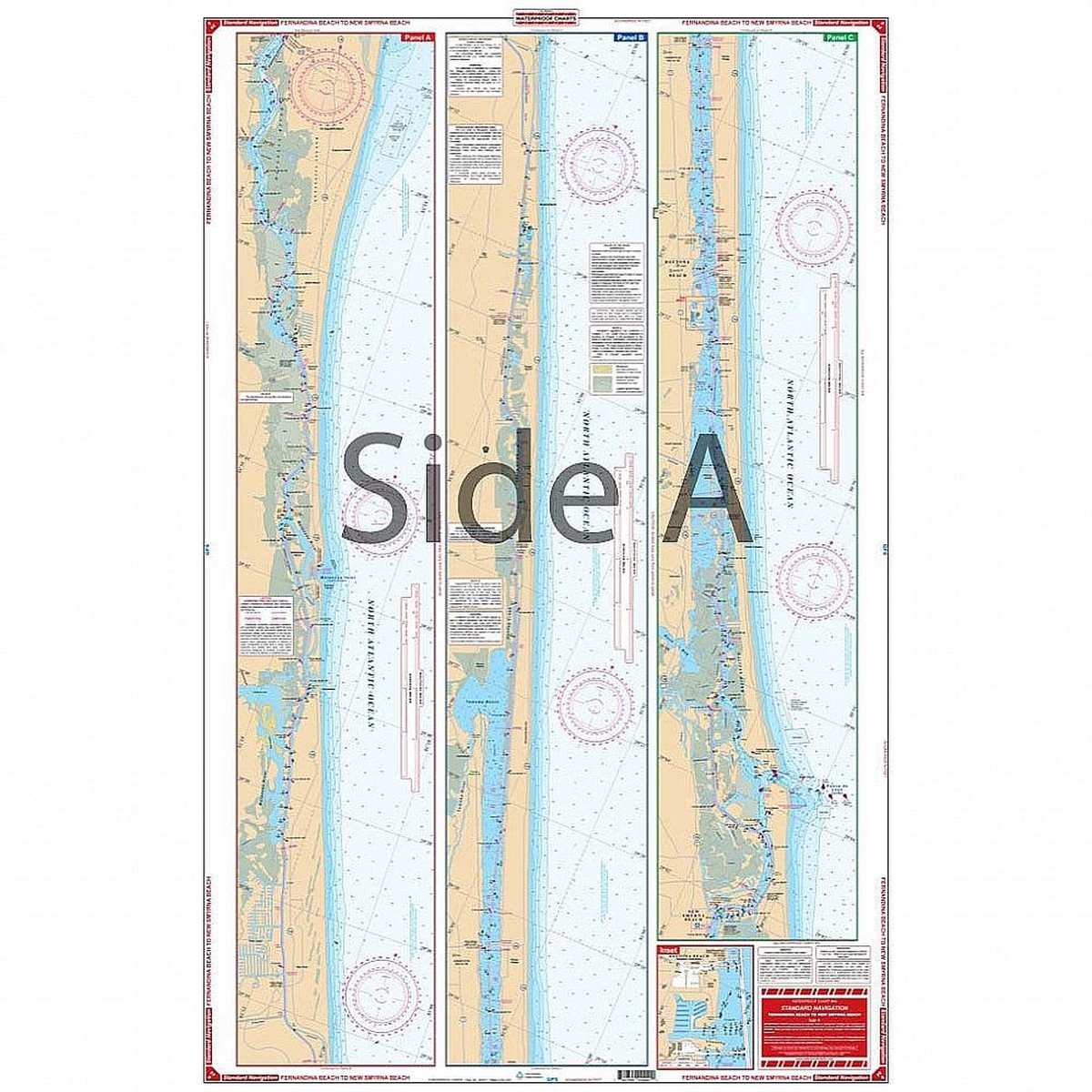
Intracoastal Waterways coverage from Fernandina south thru Amelia Island, Talbot Island, Sisters Creek, and south past Jacksonville Beach to St. Augustine on the north side. The south side details the Intracoastal Waterways from St. Augustine south through Daytona Beach to Ponce Inlet and the city of New Smyrna Beach. For east coast Florida boaters, fishermen, and water adventurers there is no nautical map quite like this one. Intracoastal Waterway coverage runs from Fernandina Beach south thru Amelia Island, Talbot Island, Sisters Creek, and south past Jacksonville Beach to St. Augustine on the north side. The south side details the Intracoastal Waterway from St. Augustine south through Daytona Beach to Ponce Inlet and the city of New Smyrna Beach. Make sure to get this navigation map put in a handsome wood frame and hang it on your home or office wall.
Only logged in customers who have purchased this product may leave a review.


