
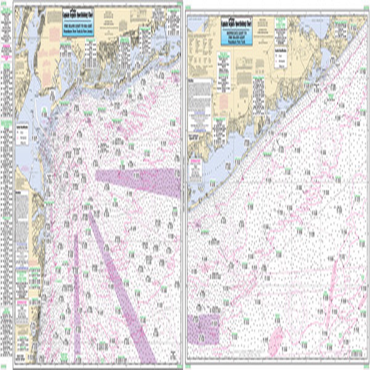
Overview Reviews Similar Products –> Product Description Captain Segull Chart – Offshore Coastal New York Nearshore 20 – 30 Miles off, Chart is 19 x 26 inches, double sided, and laminated. South side of Long Island, NY and New Jersey. Highlighting the wrecks and reefs off New York and New Jersey. From Shinnecock, NY to Seagrit, NJ. All charts include GPS coordinates, wrecks, reefs, shoals, fishing areas, amenities and restrictions. Please refer to our inshore, nearshore, bathymetric and offshore charts in this area. Product Videos Custom Field Product Reviews Write a Review Write a Review Captain Seagull Captain Segull Chart – Offshore Coastal New York Rating * Select Rating 1 star (worst) 2 stars 3 stars (average) 4 stars 5 stars (best) Name Email * Review Subject * Comments *
Only logged in customers who have purchased this product may leave a review.


